Turquie,la voie Lycienne

(done)
Copier le lien ci-dessus (ctrl+c) et partagez-le où bon vous semble. Ou cliquez sur les liens de partage (fb/twitter)
![]()
![]()
Début Septembre,10 jours seul sur la voie Lycienne .De Fethye à Kalekoi. Hébergements en Pension,appart et tente selon les opportunités.
Traces GPS disponible sur WIKILOC
Auteur : clodg
Traces GPS disponible sur WIKILOC
Auteur : clodg
tekking/hiking
/
yacht
When : 9/10/15
Length : 10 days
Length : 10 days
Total distance :
197km
Height difference :
+5998m /
-6247m
Alti min/max : 0m/893m
Guidebook created by clodg
on 01 Oct 2015
updated on 12 Oct 2015
updated on 12 Oct 2015
4353 reader(s)
-
Global view
Guidebook : Jour 11 (updated : 09 Oct 2015)
Section distance :
9km
Height difference for this section :
+194m /
-184m
Section Alti min/max : 3m/79m
Description :
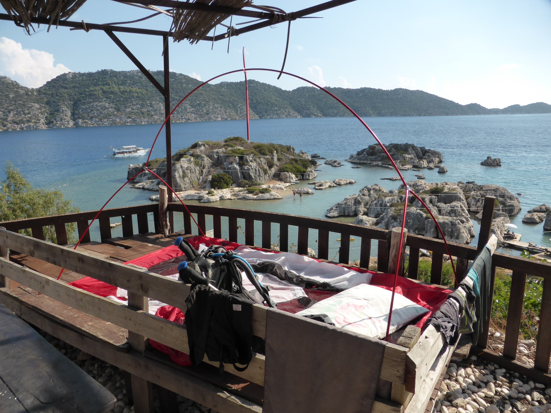
Jour 11 : Aperlai - Kalekoi 10km +225 -230 3h
Sentier littoral jusqu'à Ucagiz ensuite route pour Kalekoi.
Traces GPS sur WIKILOC:
http://fr.wikiloc.com/wikiloc/view.do?id=11028816
Sentier littoral jusqu'à Ucagiz ensuite route pour Kalekoi.
Traces GPS sur WIKILOC:
http://fr.wikiloc.com/wikiloc/view.do?id=11028816
Report : Jour 11 (updated : 09 Oct 2015)
Cheminement en sentier côtier jusqu'à Ucagiz ensuite une route pour atteindre Kakekoi,un site historique et touristique.L'eau y est limpide et claire.Je me suis baigné et fait du kayak de mer …les vacances !!