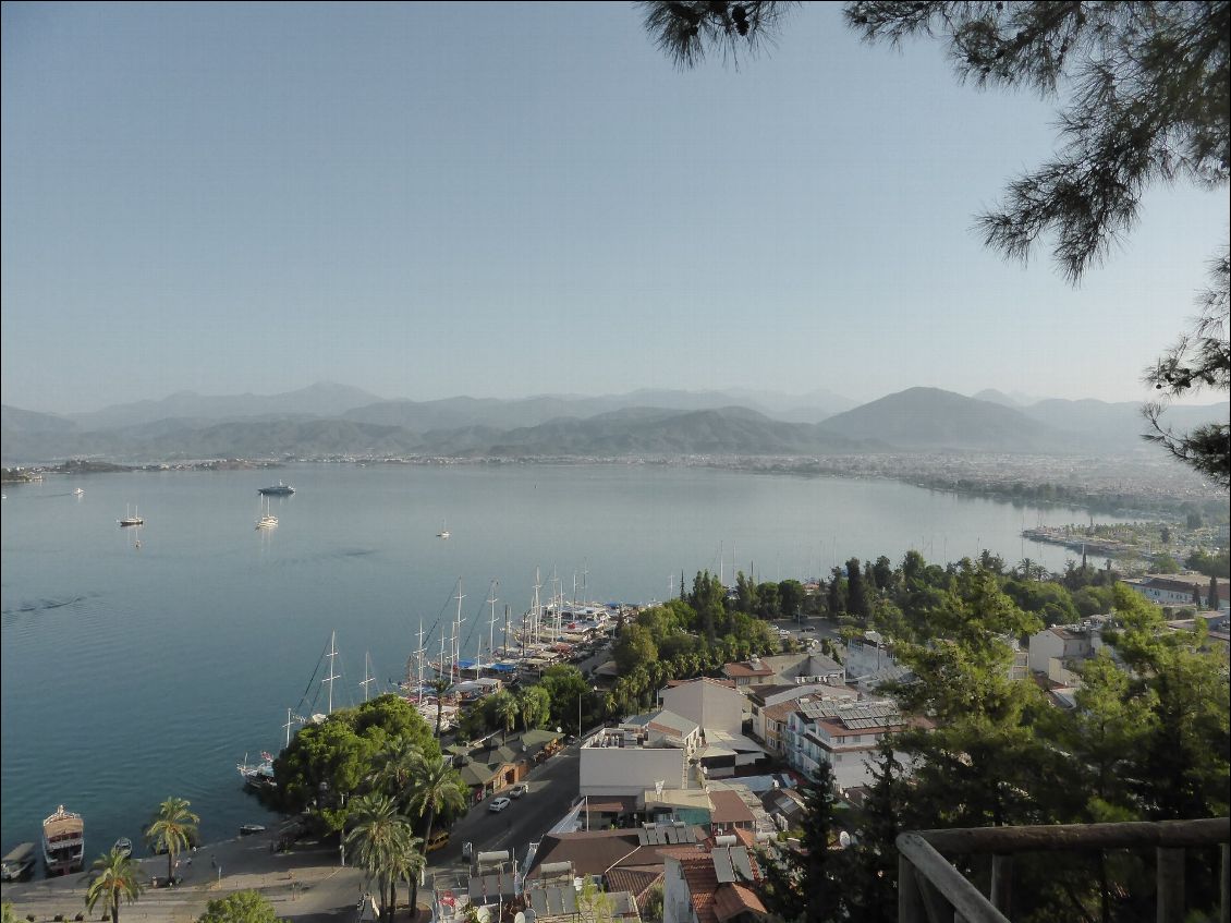
Turquie,la voie Lycienne
Début Septembre,10 jours seul sur la voie Lycienne .De Fethye à Kalekoi. Hébergements en Pension,appart et tente selon les opportunités.
Traces GPS disponible sur WIKILOC
Auteur : clodg
Traces GPS disponible sur WIKILOC
Auteur : clodg
tekking/hiking
/
yacht
When : 9/10/15
Length : 10 days
Length : 10 days
Total distance :
197km
Height difference :
+5998m /
-6247m
Alti min/max : 0m/893m
Guidebook created by clodg
on 01 Oct 2015
updated on 12 Oct 2015
updated on 12 Oct 2015
4433 reader(s)
-
Global view
Guidebook : Jour 1 (updated : 12 Oct 2015)
Section distance :
12.1km
Height difference for this section :
+574m /
-579m
Section Alti min/max : 12m/380m
Description :
Jour 1 : Fethyé - Oludeniz 14 km +603m - 623m 4h
Très belle vue sur la mer ,un chemin facile jusqu'à Kayakoi,la descente sur Oludeniz est un sentier caillouteux.En période estivale le bivouac n'est pas possible,les terrains de "camping" n'acceptent pas les tentes.Les hébergements à Ovacik en saison estivale sont rares et prix prohibitifs.
Traces GPS sur WIKILOC :
http://fr.wikiloc.com/wikiloc/view.do?id=11028135


